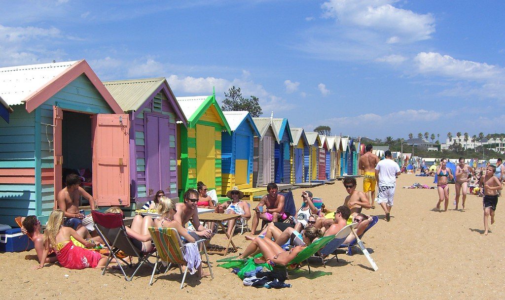
A Mid March Heatwave could be on the way, bringing the end to persistent wind and rain, with a taste of summer on the horizon.
Model predictions have been toying with the idea of high pressure establishing itself over mainland Europe by the middle of the month with the UK seeing a plume of hot air all the way from Africa.
This could lead to some very hot temperatures for this time of year, allowing the country to dry out a bit before we see an inevitable return of rain and grey skies in the following weeks.
Recent Stories
[recent_post_slider limit=”3″]
Temperatures are said to peak at around 22c, however, should high pressure remain in charge the March record of 25.6c set back in 1968 could be reached.

However, the Met Office has said that the beginning of the month is actually set to be rather cold with most days forecasts showing rain.
A Met Office spokesperson said: “For the start of March it looks like it will be predominantly rather cold with frosts likely overnight during any calmer interludes and only occasional milder days.
[recent_post_slider design=”design-1″]
“As we get to the middle of the month temperatures are most likely to be above average at times, but there will be large diurnal variations should more settled conditions take control, with frosts becoming likely.
“The average daytime temperature for the UK as a whole for March as a whole is 9°C.

Several regions of Britain saw sunshine in late last month, February 23 is currently the warmest day on record for 2020 with the highest temperature reaching 16C at East Malling in the afternoon.
The warm spell came as high pressure moved eastwards, allowing for southerly winds to suck up the warm air from Spain and northwest Africa.
Meteorologists also logged the warmest ever winter day in 2019 when temperatures reach 21.2C at Kew Garden on February 26.
