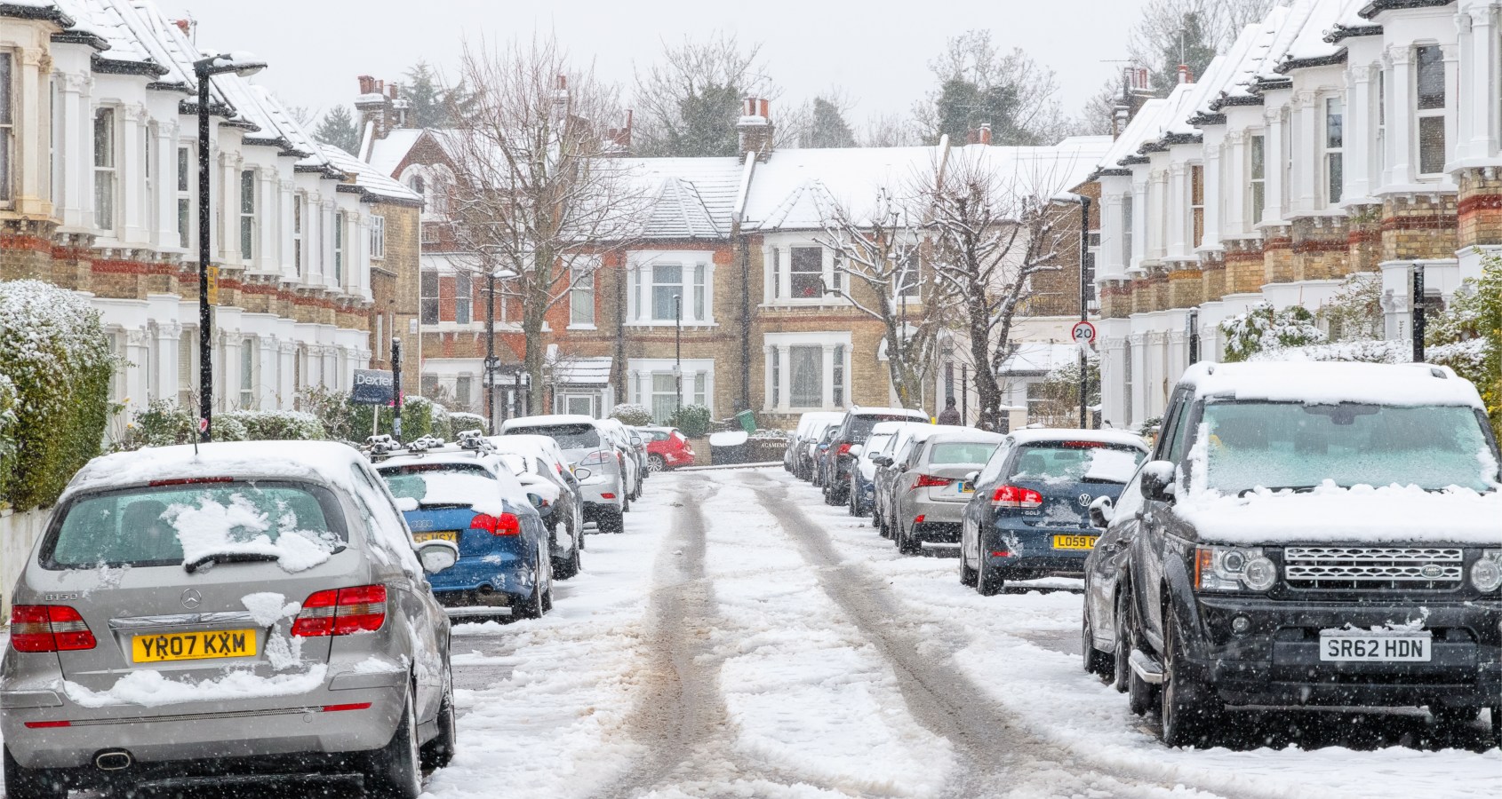
A band of low pressure moving in from the Atlantic could mean snowfall in Southern England on Thursday
According to Met Office, Southern England, including London could be seeing snowfall this week.
Across the UK, in Scotland, Northern Ireland and northern England have already already seen recent snowfall, with more forecast to be on the way today and later this week as temperatures continue to fall below zero.

By tomorrow, the showers could move further south and with a new band of low pressure moving in from the Atlantic by Thursday meaning could see snowfall in the capital.
Recent Stories
[recent_post_slider limit=”3″]
Aidan McGivern, a Met Office meteorologist, has said further snow showers are forecast for Wednesday across western Scotland and Northern Ireland, adding, “and by this stage the air cold enough that we could even see some snow coming down to lower levels, even as far south as the South West”.
Looking towards Thursday he said there was “a mild bump in the air across the Atlantic”
“How this interacts with the jet stream come Thursday is currently very uncertain,” he said.
“At the moment we think it is most likely to run across southern counties of the UK, and bump into the cold air further north.
“And that means that as we start off Thursday, we think it’s most likely that southern counties of England and South Wales will see a spell of rain.

“But north of the M4, there is the possibility of some temporary snowfall – not a great deal – it doesn’t at the moment look to be widespread, significant disruption. But there is the possibility of some snow in north London.
[recent_post_slider design=”design-1″]
“It does clear away after lunchtime, and then brighter skies follow, but we will continue to see further wintry showers across northern England, Scotland and Northern Ireland, and further snowfall especially over the hills.”
