Credit: The Sun
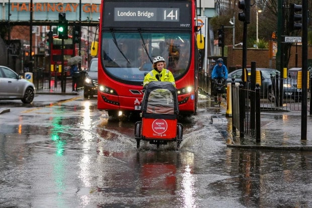
Storm Brendan sweeps across the UK this week causing havoc! I’m sure you experienced the rain yesterday but it’s been predicted that a shed load more should cover the UK tomorrow. The general message is prepare for severe winds and heavy rain in most areas of the UK.
Airlines were forced to divert flights scheduled to land at Gatwick Airport on Monday evening while ferries and railways faced disruption.
[recent_post_slider design=”design-1″]
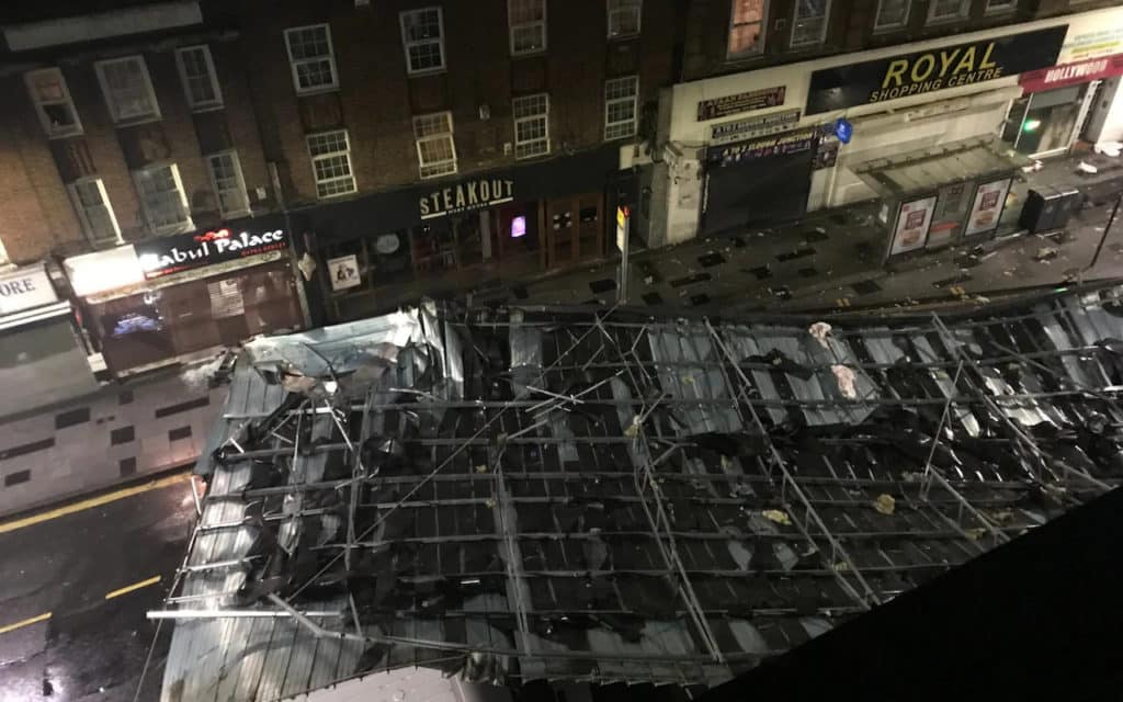
A second low-pressure front brought further strong gales to much of the country on Tuesday, causing the roof of an apartment block to crash into Slough High Street in Berkshire.

Gusts in the area were in excess of 50mph at the time of the incident, according to the Met Office.
Brendan seems to have more up its sleeve with the environment agency issuing 15 flood warnings and 164 flood alerts from Devon to Gretna on the Scottish coast.
A yellow warning of wind covering much of England expired at 5am, while a rain warning covering south-east England stopped at 9am.
Meteorologist Alex Burkill, from the Met Office, said: “It will take a little while but the rain should clear by lunchtime.
“Once it does clear away, otherwise tomorrow, most places are in for some decent sunny spells.”
[recent_post_carousel design=”design-1″]
There could be further thundery showers mainly to the north and west of the UK, with the chance of sleet and snow across the hills and mountains of Scotland and Northern Ireland, according to the forecaster.
Rail passengers face delays and temporary speed limits due to the heavy winds and fallen trees, while drivers have been advised to take extra care on the roads.
Are you safe from flooding?
Take a look at the map below and ensure that you’re in a safe area from a flood warning. In many flood risk areas, you can sign up for flood warnings. These warn of the risk of flooding from rivers, the sea and groundwater. You’ll be alerted by phone, email or text when flooding is expected. Flood warnings and alerts are not available in all areas.


