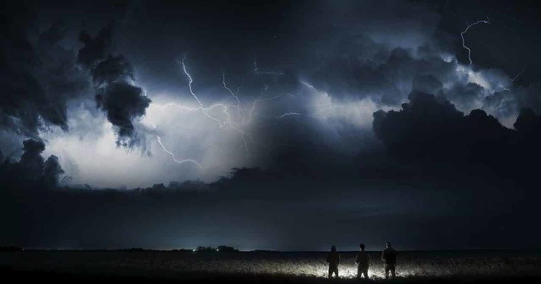
Warnings have been announced ahead of Storm Ellen which will be moving in from the Atlantic ocean on Wednesday night
Storm Ellen, which contains the remnants of the Tropical Storm Kyle, will move through the west coast of Ireland late on Wednesday evening, bringing severe gales towards the UK.
Towards Northern Ireland, gusts of wind up to 80km/h (50mph) can be expected inland with even stronger winds for coastal areas, as well as higher ground.
A yellow weather warning has been announced for strong wind for Northern Ireland. The warning from the Met Office will be in place from 20:00 BST on Wednesday until 00:00 BST the following day.
This comes after three people are now believed to have tragically died after a train derailment in Aberdeenshire, with one person currently unaccounted for, following storms occurring in the area. Torrential rain, as well as thunderstorms across the country, have caused a great deal of flooding and travel disruption across many areas within of central and eastern Scotland.
Heavy rain and the possibility for thunderstorms will be moving across all counties withing the UK leading to very blustery conditions on Thursday.
In the Republic of Ireland Met Éireann, the Irish Weather service, has issued a “Status Orange” warning for the country, which is the 2nd highest level for wind in the counties along the south and west coastal regions.
This warning will remain in place from 21:00 local time on Wednesday to 12:00 on Thursday.
A yellow weather warning has been issued for all other counties within the nation.
It says: “Due to the combination of storm surge, spring tides and onshore winds there is a potential risk of coastal flooding.”

With many opting to go on holidays at within their home country due to COVID-19 pandemic, rescue organisations have been urging those who are planning trips to the coast or mountains to pay care and attention to weather warnings and forecasts.
“The key thing is to know that when you go to a mountain environment that higher areas will exacerbate what’s happening at lower levels,” said Martin McMullan, rescue co-ordinator at Mourne Mountain Rescue Team.
“What’s coming this week is potentially going to be some of the worst conditions that you could expect when walking in the mountains. It wouldn’t be a day to go out.
“There will be poor visibility, stronger winds, heavier rain, and cooler temperatures.
“Everything is working against you.
“Some of the strongest gusts will coincide with high tides which could lead to very large waves along the coast.”
Mr McMullan suggested those intending to go out look for alternative lower walks such as Silent Valley or Castlewellan, but to always be prepared.
This comes after temperature highs of 54.4C (129.9F) have been taken at Furnace Creek in Death Valley, California, during an intense heatwave in the West coast state, in what could potentially be the hottest temperature reading ever that has been reliably recorded on the planet.
Kevin Rahill of the RNLI advised that although stormy conditions may be tempting to watch “the sea is very dangerous and unpredictable and big waves can easily knock you off your feet”.
“The sea is far more powerful than you think and your chances of survival are slim if you are dragged into the swell,” said Mr Rahill.
“We understand why people want to experience extreme weather, but we strongly urge people to respect the water and watch from a safe distance.
“Around 150 people accidentally lose their lives around UK and Irish waters each year and over half of these people didn’t plan on ever entering the water.”
